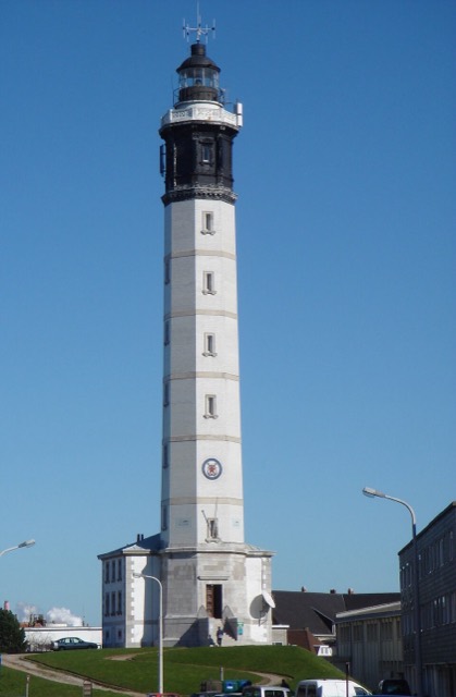
Lighthouse · 0.8 km off the route
Calais Lighthouse
Lighthouse in Pas-de-Calais, France.
Read about it on Wikipedia Photo: Ottaviani Serge, Public domainAcross the old battlefields to Verdun, down to Gerardmer and along the Route des Cretes ridge, over the Rhine for the Feldberg, Triberg and the B500 ridge road to Baden-Baden, then back through northern Alsace and the Ardennes.
At 150 to 300 miles a day, this is 4 to 7 days of riding. Set your own daily distance and add rest days.
Plotted by us, not yet ridden
Starts at Calais ferry port
Click a dot for details. White dots are the stops, each with a bed search. Yellow dots are places to see.
Measured on the route line from OpenStreetMap data, which can be missing or out of date. Curvature is degrees of turning a mile, measured every 100 metres. On our routes they run from 6 on the E19 to 701 on the SP638.
Pick the miles you like to ride in a day. Each day ends at the named place on the route nearest that distance, and you get a GPX file for each day.
This is your pace, not our estimate of how long the riding takes. Day lengths vary because each day ends at a named place.
This route starts where the boat or train lands at Calais. Book the bike as a motorcycle, not a car.
Split the route into days above and each day gets its own bed search for where it ends.
Back to the daysCheck your bike insurance covers riding abroad, get travel insurance that covers motorcycling at your engine size, and breakdown cover that recovers a motorcycle in every country on the route.
What to check before you buy coverWhat GOV.UK says riders need for it, checked 05/11/2026. Rules change, so read the official page before you go.
On every trip abroad: your licence, insurance that covers riding abroad, the V5C and travel insurance with medical cover. The tour planner turns all of this into a checklist each rider in your group can tick off.
Castles, passes, viewpoints and more within easy reach of the line, in the order you reach them. Yellow dots on the map.
Lighthouse in Pas-de-Calais, France.
Read about it on Wikipedia Photo: Ottaviani Serge, Public domain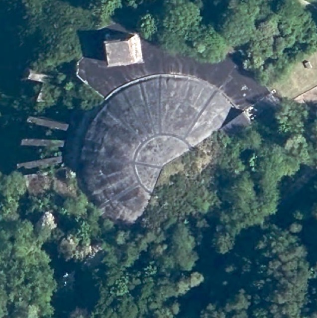
WWII Nazi-built bunker complex in France.
Read about it on Wikipedia Photo: IGN, Public domain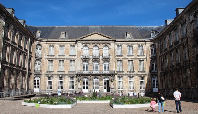
Musée de France.
Read about it on Wikipedia Photo: Jean-Pol GRANDMONT, CC BY 4.0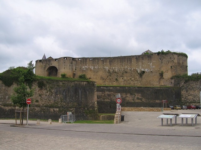
Castle.
Read about it on Wikipedia Photo: M.Minderhoud, CC BY-SA 3.0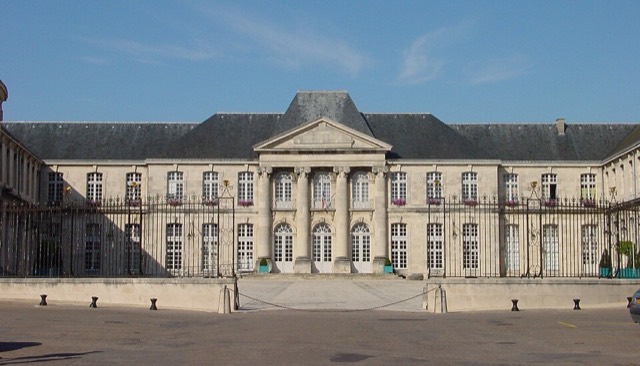
Château.
Read about it on Wikipedia Photo: Camster2, cropped by Sir Gawain, CC BY-SA 3.0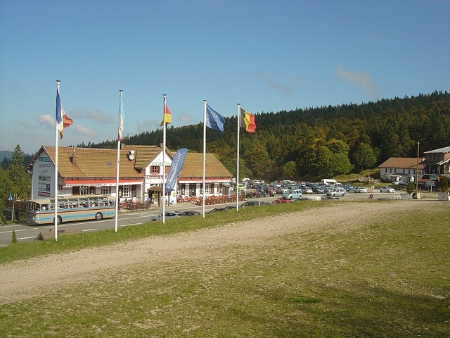
Mountain pass.
Read about it on Wikipedia Photo: Anthospace, CC BY-SA 4.0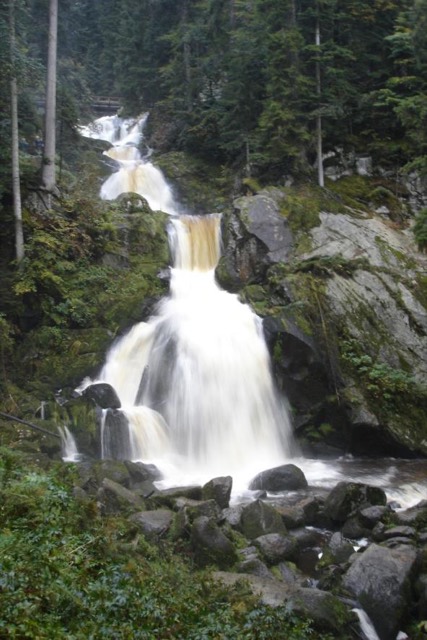
Waterfall in Black Forest, Germany.
Read about it on Wikipedia Photo: Unknown, Public domain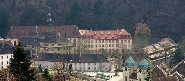
Cistercian monastery in Germany.
Read about it on Wikipedia Photo: Rainer Lück 1RL.de, CC BY-SA 3.0 de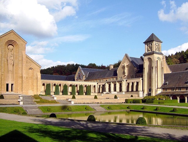
Monastery in Belgium.
Read about it on Wikipedia Photo: Danielbaise, CC BY-SA 4.0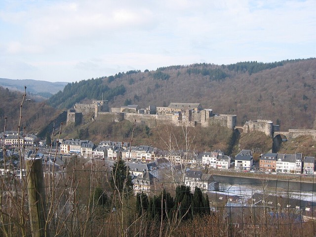
Castle in Wallonia.
Read about it on Wikipedia Photo: ErikH at Dutch Wikipedia, CC BY-SA 3.0Place details from Wikidata. Photos from Wikimedia Commons, credited on each card.


