Castle · On the route
Annan Castle
Castle in Dumfries and Galloway, Scotland, UK.
Read about it on WikipediaThe signed tourist route from Gretna through Dumfries and Castle Douglas, past New Galloway and north over the hills by Dalmellington to Alloway, just south of Ayr.
Follows the official route
Click a dot for details. White dots are the stops, each with a bed search. Yellow dots are places to see.
Measured on the route line from OpenStreetMap data, which can be missing or out of date. Curvature is degrees of turning a mile, measured every 100 metres. On our routes they run from 6 on the E19 to 701 on the SP638.
Check your breakdown cover recovers a motorcycle, and from where. Some policies only cover you from home, or not at all on single track roads.
What to check before you buy coverCastles, passes, viewpoints and more within easy reach of the line, in the order you reach them. Yellow dots on the map.
Castle in Dumfries and Galloway, Scotland, UK.
Read about it on WikipediaCastle in Dumfries and Galloway, Scotland, UK.
Read about it on Wikipedia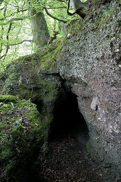
Place of worship in Cargenbridge, Dumfries and Galloway, Scotland.
Photo: Walter Baxter, CC BY-SA 2.0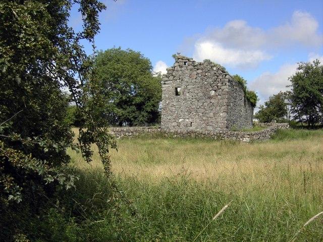
Castle in Dumfries and Galloway, Scotland, UK.
Read about it on Wikipedia Photo: Colin Kinnear, CC BY-SA 2.0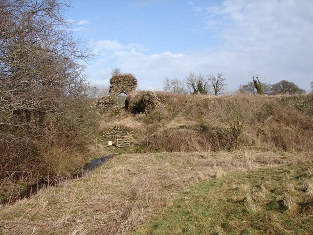
Castle in Dumfries and Galloway, Scotland, UK.
Read about it on Wikipedia Photo: Chris Newman, CC BY-SA 2.0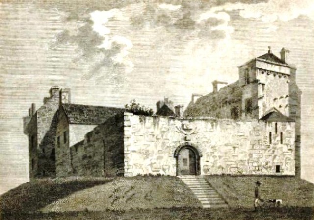
Castle in Dumfries and Galloway, Scotland, UK.
Read about it on Wikipedia Photo: Francis Grose (died 1790), Public domain
Place details from Wikidata. Photos from Wikimedia Commons, credited on each card.


