Isle of Man Mountain Course
The TT course on open public roads: Douglas, Ballacraine, Kirk Michael, Ramsey, over the Mountain and back down past Creg-ny-Baa.
- Distance
- 39 miles (62 km)
- Type
- Loop
- Where
- Isle of Man
Plotted by us, not yet ridden
Click a dot for details. White dots are the stops, each with a bed search. Yellow dots are places to see.
Main roads
From the map
- Longest gap between fuel
- 13 miles
- Fuel stations near the line
- 11
- Curvature
- 133 ° a mile
- Campsites within 2 km
- 18
- The longest stretch with no fuel station within 1 km of the line runs from mile 24 to mile 37. Check it against your range with the fuel range calculator.
- The twistiest 20 miles run from mile 19 to mile 39, at 165 degrees of turning a mile.
- 2 motorcycle shops are within 3 km of the line.
Measured on the route line from OpenStreetMap data, which can be missing or out of date. Curvature is degrees of turning a mile, measured every 100 metres. On our routes they run from 6 on the E19 to 701 on the SP638.
Before you go
- These are public roads with normal traffic, villages and speed limits. The Mountain section has no general limit but it is still a public road.
- The Mountain Road runs one way during TT and the Manx Grand Prix.
On the way
- Grandstand, Douglas
- Union Mills
- Glen Helen
- Kirk Michael
- Ballaugh
- Sulby
- Ramsey
- Gooseneck
- Bungalow
- Grandstand, Douglas
Book this trip
1Getting there
Ferries run to Ireland and Northern Ireland from Holyhead, Fishguard, Pembroke, Cairnryan and Liverpool, and to the Isle of Man from Heysham and Liverpool.
Compare every crossing2Places to stay
- Find a bed in Grandstand, DouglasWhere the loop starts and ends
3Cover
Check your breakdown cover recovers a motorcycle, and from where. Some policies only cover you from home, or not at all on single track roads.
What to check before you buy coverPlaces to see on the way
Castles, passes, viewpoints and more within easy reach of the line, in the order you reach them. Yellow dots on the map.
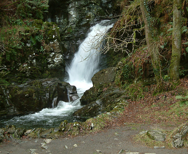
Rhenass Waterfall
Waterfall in German Parish, Isle of Man.
Photo: Jon Wornham, CC BY-SA 2.0
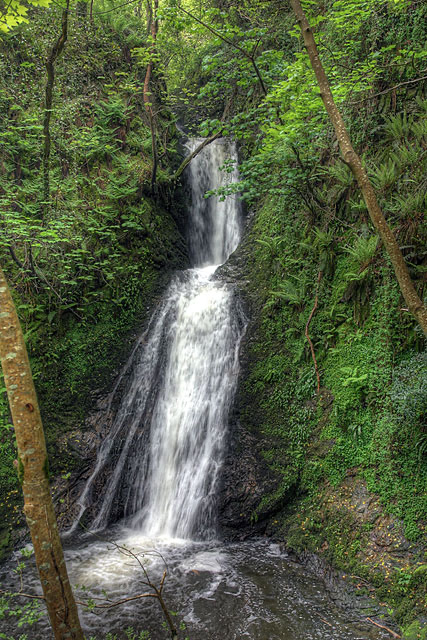
Spooyt Vane
Waterfall in the Isle of Man.
Photo: Andy Stephenson, CC BY-SA 2.0
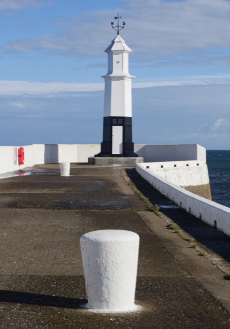
Ramsey North Pier Lighthouse
Lighthouse in Ramsey, Isle of Man.
Photo: James T M Towill, CC BY-SA 2.0
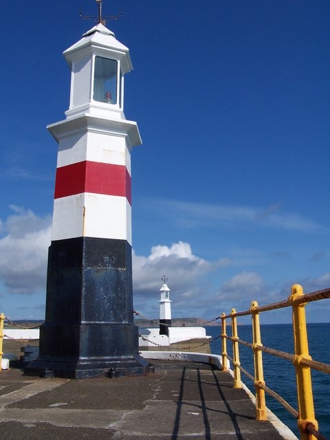
Ramsey South Pier Lighthouse
Lighthouse in Ramsey, Isle of Man.
Photo: David Martin, CC BY-SA 2.0
Place details from Wikidata. Photos from Wikimedia Commons, credited on each card.