Fort · 0.3 km off the route
Lofoten on the E10
The E10 across the Lofoten islands, over bridges and through sea tunnels from Svolvaer past the beaches and fishing villages to Reine and the end of the road at A.
- Distance
- 83 miles (133 km)
- Type
- Point to point
- Where
- Lofoten
Plotted by us, not yet ridden
Book this tripCrossing ferries and the tunnelBeds from SvolvaerCover insurance and breakdownSee it all
Click a dot for details. White dots are the stops, each with a bed search. Yellow dots are places to see.
Main roads
E10
From the map
- Longest gap between fuel
- 41 miles
- Fuel stations near the line
- 14
- Curvature
- 147 ° a mile
- Campsites within 2 km
- 16
- The longest stretch with no fuel station within 1 km of the line runs from mile 1 to mile 42. Check it against your range with the fuel range calculator.
- The twistiest 20 miles run from mile 62 to mile 82, at 193 degrees of turning a mile.
- Countries: Norway.
Measured on the route line from OpenStreetMap data, which can be missing or out of date. Curvature is degrees of turning a mile, measured every 100 metres. On our routes they run from 6 on the E19 to 701 on the SP638.
Before you go
- Norwegian speed fines are very high.
- The road is narrow in places and busy with camper vans in summer.
- The ferry from Moskenes to Bodo links this end of the islands to the mainland. Check timetables before you rely on it.
On the way
- Svolvaer
- Leknes
- Ramberg
- Reine
- A
Ready to ride it?
Plan it with dates in the tour plannerBook this trip
1Getting there
Most riders cross to Calais by Le Shuttle or a Dover ferry, or take a longer ferry nearer the route.
Compare every crossing2Places to stay
- Find a bed in SvolvaerWhere the route starts
- Find a bed in AWhere the route ends
3Cover
Check your bike insurance covers riding abroad, get travel insurance that covers motorcycling at your engine size, and breakdown cover that recovers a motorcycle in every country on the route.
What to check before you buy coverThe country on this route
What GOV.UK says riders need for it, checked 05/11/2026. Rules change, so read the official page before you go.
Norway
- Money
- Norwegian krone
- Ride on the
- Right
- Winter tyres are required when snow or ice covers the road: check what applies to motorcycles
- Dipped headlights must be on during the day, all year
- The drink-drive limit is a quarter of England's, with frequent roadside checks
- GOV.UK travel adviceSafety, road travel and local laws
- Entry requirementsPassport and visa rules
- Riding in NorwayOur routes, passes and fuel gaps there
On every trip abroad: your licence, insurance that covers riding abroad, the V5C and travel insurance with medical cover. The tour planner turns all of this into a checklist each rider in your group can tick off.
Places to see on the way
Castles, passes, viewpoints and more within easy reach of the line, in the order you reach them. Yellow dots on the map.
Fort · 0.6 km off the route
Smihaugen
Monastery · On the route
Cistercienserklosteret Fjordenes dronning
Fort · 1 km off the route
Borga
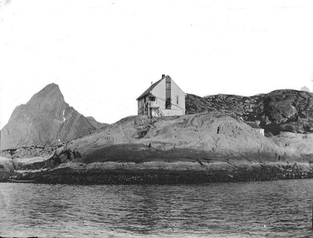
Lighthouse · 0.6 km off the route
Reine fyr
Lighthouse in Norway.
Photo: Unknown authorUnknown author, Public domain
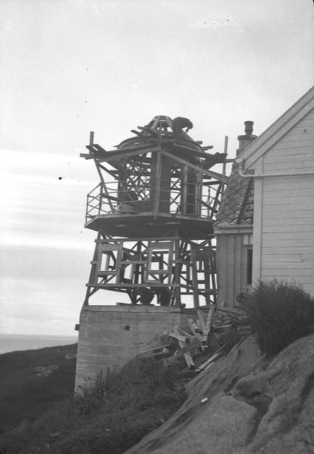
Lighthouse · 0.6 km off the route
Glåpen Lighthouse
Lighthouse in Norway.
Read about it on Wikipedia Photo: Unknown authorUnknown author, Public domain
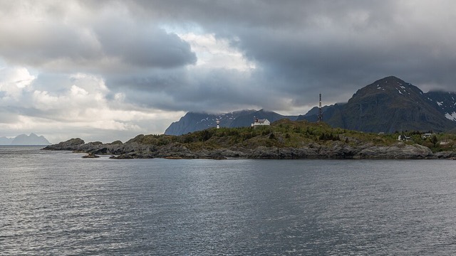

Place details from Wikidata. Photos from Wikimedia Commons, credited on each card.
More routes in Europe
See them allAdriatic coast road, Rijeka to Dubrovnik 366 miAlta to the North Cape 146 miAmalfi Coast road 36 miAuvergne volcanoes and the Puy Mary 186 miBlack Forest B500 127 miCalais to Lake Geneva for the Route des Grandes Alpes 575 miCalais to Roscoff along the Normandy and Brittany coast 562 miCalais to Santander through France 1,118 mi