Peak District classics
The Cat and Fiddle, Snake Pass and Winnats Pass in one loop from Buxton.
- Distance
- 65 miles (104 km)
- Type
- Loop
- Where
- Peak District
Plotted by us, not yet ridden
Click a dot for details. White dots are the stops, each with a bed search. Yellow dots are places to see.
Main roads
From the map
- Longest gap between fuel
- 16 miles
- Fuel stations near the line
- 13
- Curvature
- 174 ° a mile
- Campsites within 2 km
- 22
- The longest stretch with no fuel station within 1 km of the line runs from mile 34 to mile 50. Check it against your range with the fuel range calculator.
- The twistiest 20 miles run from mile 2 to mile 22, at 233 degrees of turning a mile.
- Passes: Snake Pass (510 m, mile 38).
- 3 motorcycle shops are within 3 km of the line.
Measured on the route line from OpenStreetMap data, which can be missing or out of date. Curvature is degrees of turning a mile, measured every 100 metres. On our routes they run from 6 on the E19 to 701 on the SP638.
Before you go
- The A537 Cat and Fiddle has average speed cameras and a long crash history.
- Snake Pass closes in snow and after landslips. Winnats Pass is narrow, steep and crowded at weekends.
On the way
- Buxton
- Macclesfield
- Whaley Bridge
- Glossop
- Snake Pass summit
- Castleton
- Winnats Pass
- Buxton
Book this trip
2Cover
Check your breakdown cover recovers a motorcycle, and from where. Some policies only cover you from home, or not at all on single track roads.
What to check before you buy coverPlaces to see on the way
Castles, passes, viewpoints and more within easy reach of the line, in the order you reach them. Yellow dots on the map.
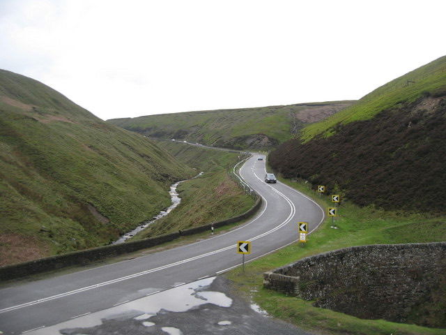
Snake Pass
Hill pass in the Derbyshire section of the Peak District.
Read about it on Wikipedia Photo: Paul Anderson, CC BY-SA 2.0
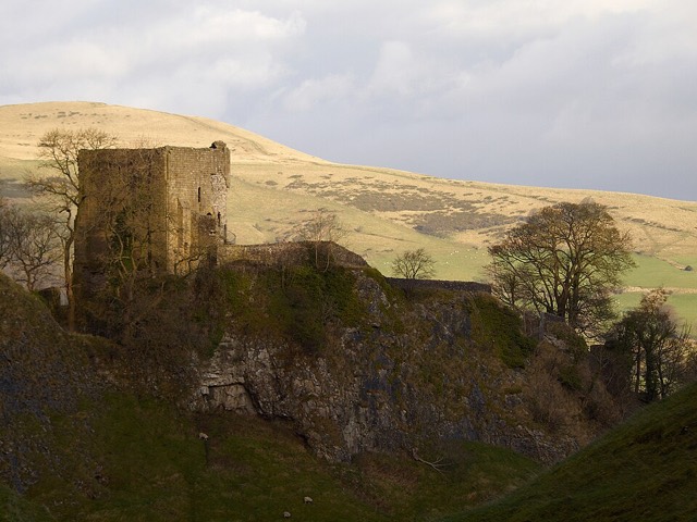
Peveril Castle
Castle in Castleton, Derbyshire, England, UK.
Read about it on Wikipedia Photo: Darren Copley from Sheffield, CC BY 2.0
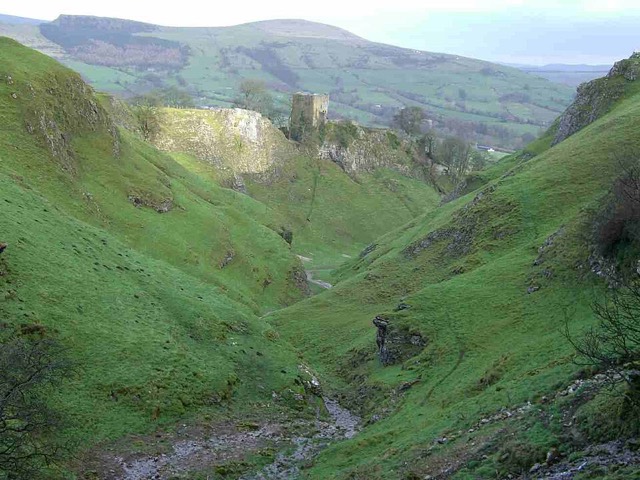
Cave Dale
Climbing areas of England.
Read about it on Wikipedia Photo: Mick Knapton at English Wikipedia, CC BY-SA 3.0
Cowlow Pot
Cave in the Peak District, UK.
Lover's Leap, Buxton, Derbyshire
Gorge to the south of Buxton, Derbyshire, Engand, UK.
Place details from Wikidata. Photos from Wikimedia Commons, credited on each card.